fbpx

Digital Twin Implementation: Transforming Seattle’s Urban Landscape

Seattle Digital Twin

Executive Summary:

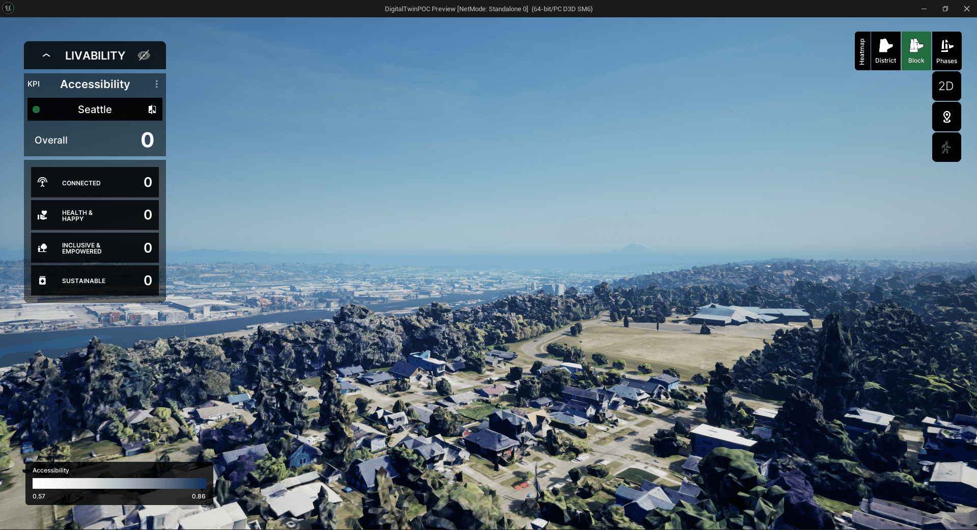
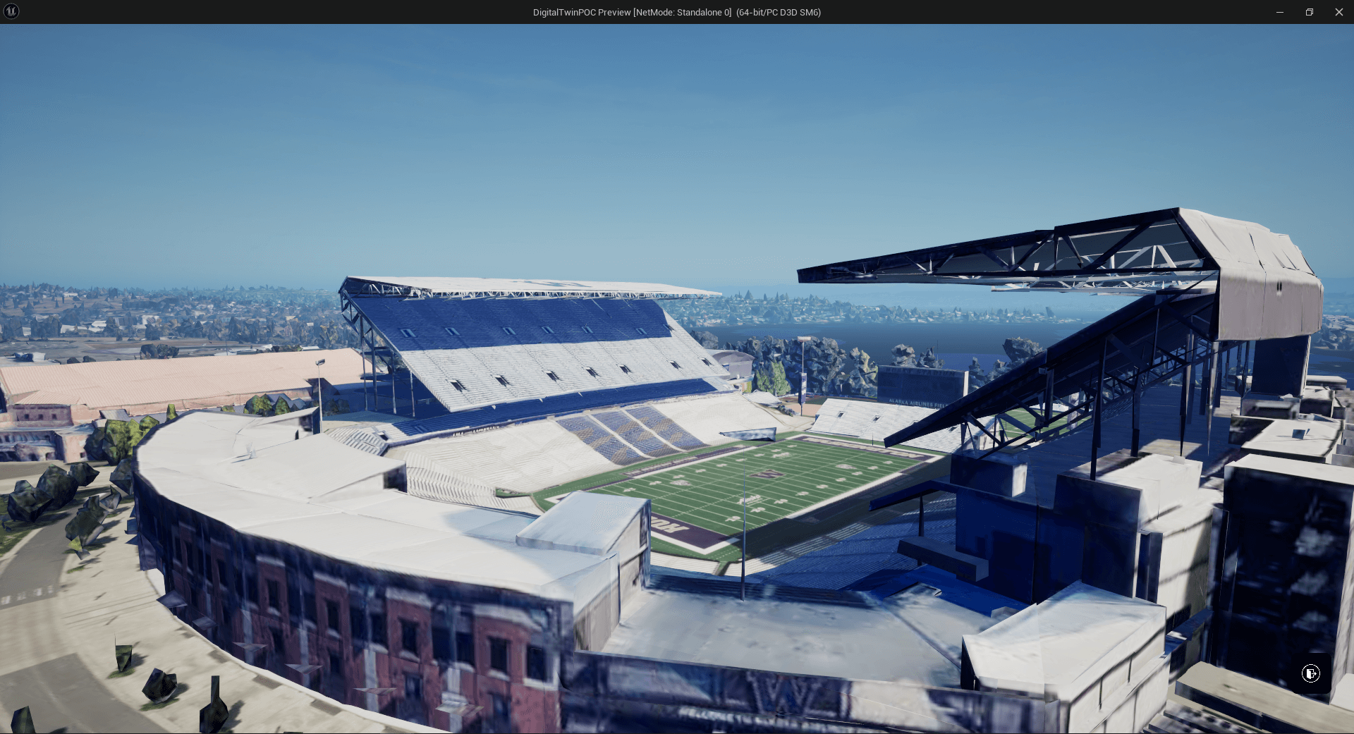
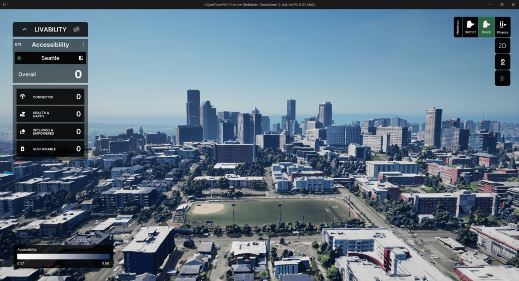
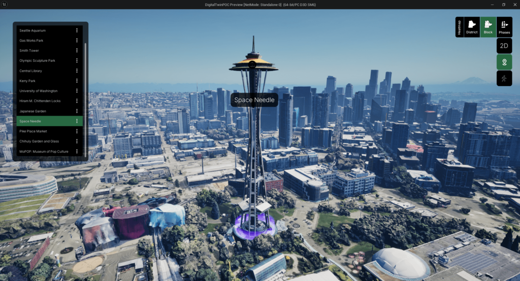
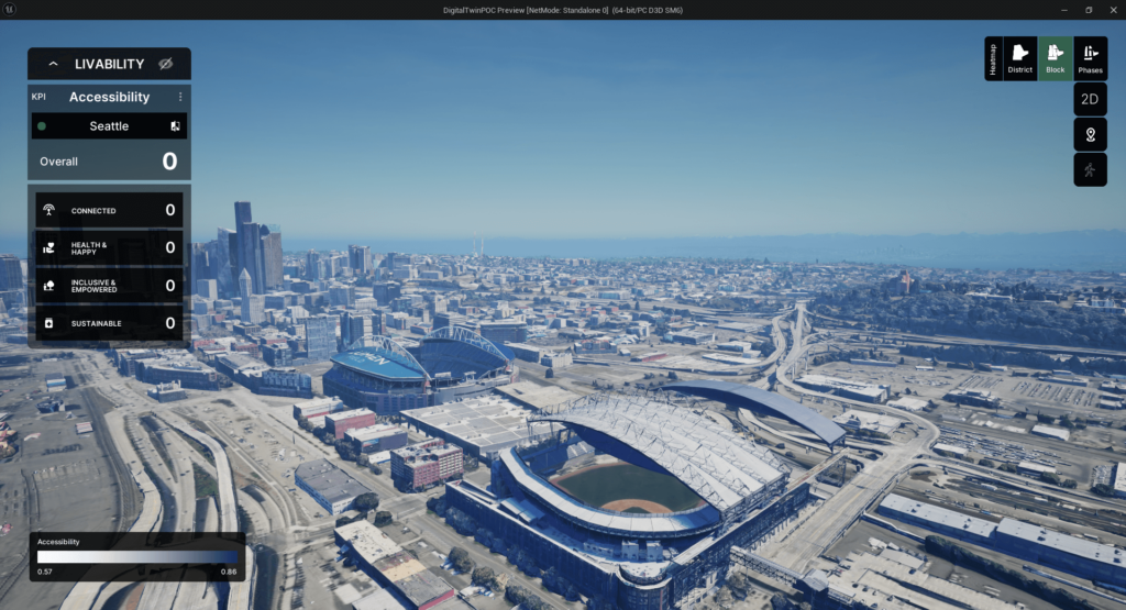
This case study explores the development of a digital twin for Seattle, utilizing Unreal Engine, Cesium, 3D Google Maps, and various open data sources. The digital twin is an immersive 3D visualization platform, overlaying livability data as a heat map layer. Despite data integration, performance optimization, and user interface design challenges, the digital twin provides a powerful tool for data-driven urban planning and development decision-making.

Project Challenges:

  1. Data Integration: Consolidating diverse data sources, including ArcGIS and open data, into a standardized format for seamless integration within the digital twin environment.
  2. Performance Optimization: Ensuring smooth operation and rendering of highly detailed 3D models, data layers, and interactive features across varying hardware configurations.
  3. User Interface Design: Developing an intuitive and user-friendly interface that meets the specific needs of urban planners, designers, and stakeholders for effectively visualizing and analyzing data.

Goals & Objectives:

  1. Develop an interactive digital twin of Seattle within Unreal Engine, integrating Cesium for georeference and 3D Google Maps features for enhanced visualization.
  2. Overlay livability data as a heat map layer on the digital twin, enabling comprehensive analysis and visualization of urban data.
  3. Implement camera movement features, including quick zoom-in and out capabilities, to enhance the user experience and data exploration.
  4. Integrate Points of Interest (POIs) from OpenStreetMap data, providing contextual information and enhancing the digital twin’s utility.
  5. Incorporate immersive 360-degree views and first-person perspectives, leveraging Google 3D tiles, to create an engaging and realistic user experience.
  6. Optimize the digital twin for performance and deliver a standalone executable for efficient deployment on modern high-end PCs.

Solutions & Methodology:

  1. Utilized ArcGIS and open data sources to generate urban data layers compatible with the digital twin environment.
  2. Implemented Cesium as the georeferencing system and integrated 3D Google Maps features for enhanced visualization capabilities.
  3. Developed custom tools and scripts within Unreal Engine to optimize rendering and memory usage for smooth performance across varying hardware configurations.
  4. Designed and implemented a user interface aligning with provided Figma mockups, ensuring intuitive data representation and interaction.
  5. Incorporated OpenStreetMap POI data and created boundary layers for contextual information and enhanced navigation.
  6. Implemented 360-degree views and first-person perspectives using Google 3D tiles, enabling immersive exploration of the digital twin environment.

Project Execution

Digital Twins for Seattle - Project Execution
  1. Set up an Unreal Engine project with Cesium as the georeferencing system and integrated 3D Google Maps features.
  2. Processed and imported livability data generated using ArcGIS and open data sources, overlaying it as a heat map layer on the digital twin.
  3. Implemented camera movement features, including quick zoom-in and out capabilities, for enhanced user experience and data exploration.
  4. Integrated OpenStreetMap POI data and created boundary layers for contextual information and navigation aids.
  5. Developed 360-degree views and first-person perspectives using Google 3D tiles, enabling immersive exploration of the digital twin environment.
  6. Conducted performance optimizations to ensure smooth operation on modern high-end PCs.
  7. Delivered the final product as a standalone executable for efficient deployment and user accessibility.

Outcomes & Results:

Seattle Digital Twins - Outcomes & Results
  1. Successful development of an interactive digital twin for Seattle, integrating urban data layers, including livability data as a heat map.
  2. Intuitive user interface and camera movement features, enabling efficient data exploration and analysis.
  3. Integration of OpenStreetMap POI data and boundary layers, providing contextual information for enhanced navigation and understanding.
  4. Immersive 360-degree views and first-person perspectives, leveraging Google 3D tiles, for a realistic and engaging user experience.
  5. Optimized performance on modern high-end PCs, ensuring seamless operation and rendering of the highly detailed digital twin environment.
  6. Empowerment of urban planners, designers, and stakeholders with a powerful tool for data-driven decision-making in urban planning and development.

Conclusion:

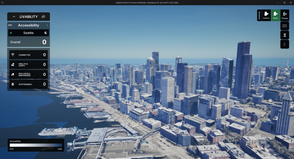
The Seattle digital twin project has successfully delivered an immersive and interactive 3D visualization platform, integrating urban data layers and leveraging cutting-edge technologies such as Unreal Engine, Cesium, and 3D Google Maps. Despite data integration, performance optimization, and user interface design challenges, the digital twin provides a valuable resource for urban planners, designers, and stakeholders. By enabling comprehensive analysis and visualization of urban data, the digital twin empowers data-driven decision-making processes, ultimately contributing to more informed and sustainable urban planning and development strategies for Seattle.